Home / Weather & Preparedness Path / Signs Bad Weather Is Coming
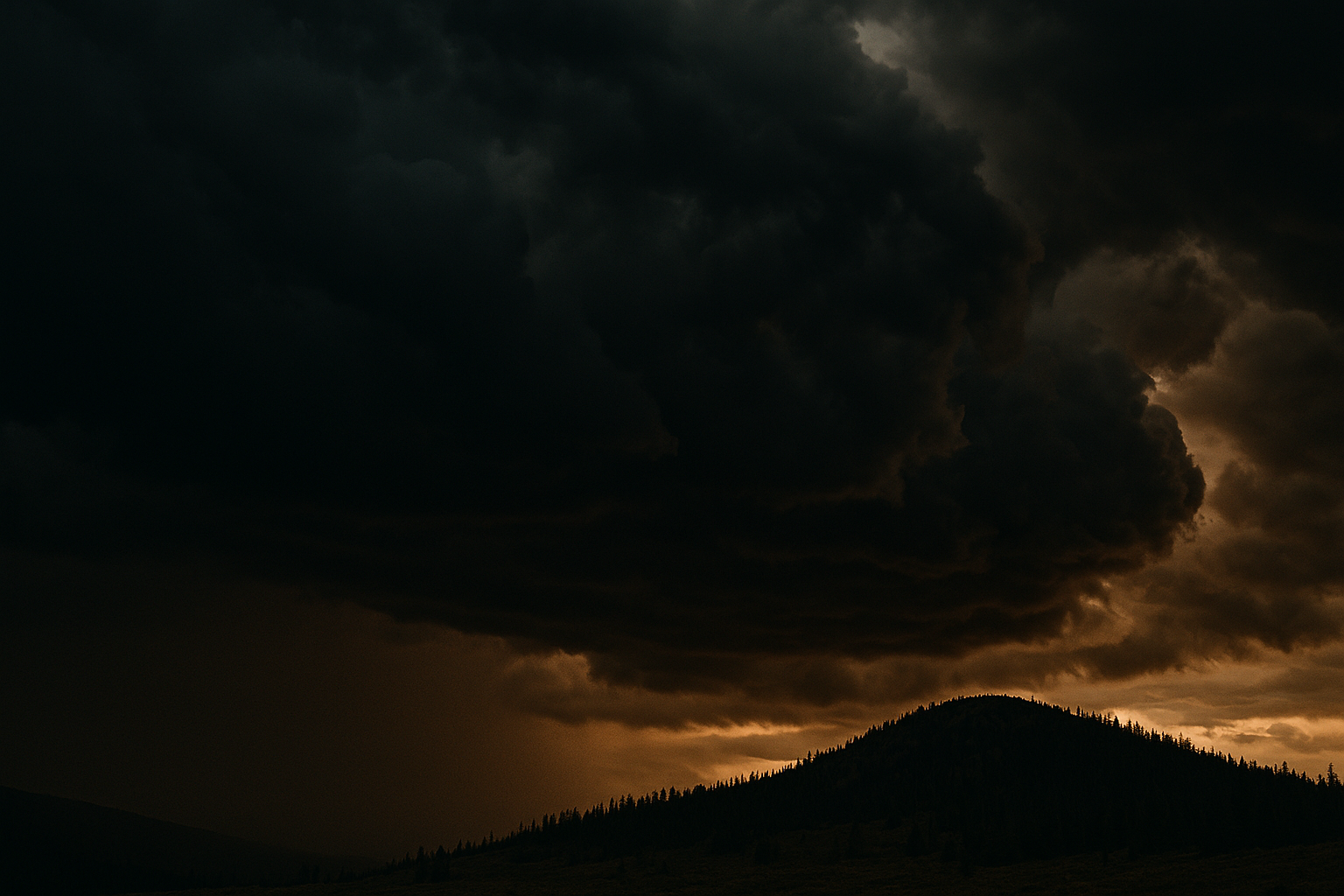
Wide shot of darkening storm clouds building over a distant ridgeline, dramatic natural light, dark and grounded tones, illustrating signs bad weather is coming.
WEATHER & PREPAREDNESS · FIELD GUIDE · STEP 1 OF 7

Signs Bad Weather Is Coming

By the time you can see rain coming, you've usually lost your prep window. This guide teaches the cloud, wind, and animal-behavior trends that show up hours ahead of a weather change — and why watching the trend matters more than any single sign.

Written by SRL Field Team · Updated 2026-07-12 ✓ Field Verified
weather-readingpreparedness
SRL-WEA-001 · print-ready · SRL Editorial Standard · 2 sources cited
5 minRead Time
BeginnerDifficulty
2Sources Cited
Field Rules
  1. 01Track the sky over time, not a single glance.
  2. 02Treat a sudden wind shift, especially with cooling temperatures, as an early warning to secure camp regardless of current sky conditions.
  3. 03Use animal behavior to reinforce cloud and wind observations, not as a standalone forecast.
Get the Free Field Sheet Continue the Learning Path →
WEATHER & PREPAREDNESS PATH

Build this skill in sequence.

1Bad Weather2Not yet published3Not yet published4Not yet published5Not yet published6Not yet published7Not yet published
LEARNING PATH PROGRESS
Weather & Preparedness Path — you're on step 1 of 7 1/7 published
WHAT YOU'LL LEARN

4 things, read in order.

INTERACTIVE DIAGRAMS

See the terrain, not just read it.

2 field diagrams from the SRL diagram system. Switch between them.

WHY THIS DIAGRAMTrack cloud trend over hours instead of judging a single cloud's shape.
Cloud progression high, thin — fair for now LOW, DARKENING — WATCH
Watch the trend — thickening, lowering clouds over hours matter more than any single cloud type.
WHY THIS DIAGRAMCatch a wind shift as an earlier warning sign than any visible change in the sky.
Wind shift ahead of a front morning wind SHIFTING — FRONT LIKELY
A sudden wind shift, especially with cooling temperatures, often arrives before the sky visibly changes.
SIGN 01 / 03

Read Cloud Progression

The trend over hours tells you more than any single cloud you see right now.

WHAT TO LOOK FOR

High, thin cirrus clouds thickening and lowering over several hours, or towering cumulus building earlier than usual in the day.

WHY IT MATTERS

A steady thickening-and-lowering sequence often precedes a frontal system by 12–24 hours; rapid vertical cumulus growth can signal same-day storms.

WHAT TO DO

Track the sky over time, not a single glance.

FIELD TIP

If high clouds have visibly thickened and lowered within a few hours of your last check, treat a weather change as likely within the day.

COMMON MISTAKE

Judging weather from a single sky snapshot instead of watching the progression.

SIGN 02 / 03

Watch Wind Shifts and Pressure Cues

Wind often changes before the sky visibly does.

WHAT TO LOOK FOR

A sudden shift in wind direction, wind picking up ahead of visible clouds, or a noticeable temperature drop with the shift.

WHY IT MATTERS

Wind direction and speed often change ahead of an arriving front, sometimes before clouds show it.

WHAT TO DO

Treat a sudden wind shift, especially with cooling temperatures, as an early warning to secure camp regardless of current sky conditions.

FIELD TIP

Compare current wind direction against the prevailing pattern the terrain and trees showed earlier — a clear mismatch is itself a signal.

COMMON MISTAKE

Waiting for rain to start before responding to a wind shift that already told you conditions were changing.

SIGN 03 / 03

Notice Animal and Insect Behavior

A supporting signal, not a standalone forecast.

WHAT TO LOOK FOR

Birds flying lower or feeding heavily, insects going quiet, wildlife moving toward cover.

WHY IT MATTERS

Many animals respond to dropping pressure and humidity changes before humans perceive them.

WHAT TO DO

Use animal behavior to reinforce cloud and wind observations, not as a standalone forecast.

FIELD TIP

A sudden, marked change in normal animal activity — not just an occasional sighting — is the meaningful signal.

COMMON MISTAKE

Treating animal behavior as a primary forecasting tool. It's a supporting cue with real but limited reliability.

DECISION CARD

Two or more independent signs — cloud trend plus wind shift, or wind shift plus animal behavior — moving the same direction is your cue to prepare camp for weather, not wait for confirmation.

MISTAKE CARD

Waiting for visible rain before securing gear, shelter, and fire. By then you've lost your prep window.

FIELD RULE

Watch the trend, not the moment.

HONEST LIMITATIONSThese are short-range, local observational cues — hours, not days — and are not a substitute for an actual forecast when one is available. Regional weather patterns vary; build local experience with these signs over time rather than trusting them blind on unfamiliar terrain.
This article's actual product
1-PAGE FIELD SHEET
Signs Bad Weather Is Coming
PDF · LETTER/A4
High cirrus clouds checked for thickening/lowering over hours
Cumulus build-up timing checked against a normal day
Wind direction compared against the earlier prevailing pattern
Temperature drop noted alongside any wind shift
Animal/insect activity checked as a supporting signal
Open Printable Field Sheet
print-ready·offline-first·SRL-WEA-001
Get the Free Field Sheet
Free, direct download — no account required.
SOURCES

What this guide is built on.

  • NOAA basic weather-observation references
  • Traditional weather-lore field guides (cross-checked against meteorological basics)

See our Editorial Standard for how sources are reviewed.

RELATED SKILLS

Keep the next reference close.

NEXT IN WEATHER & PREPAREDNESS PATH — STEP 2 OF 7

Not yet published

This step is planned but not live yet.