Home / Navigation Path / How to Find North Without a Compass
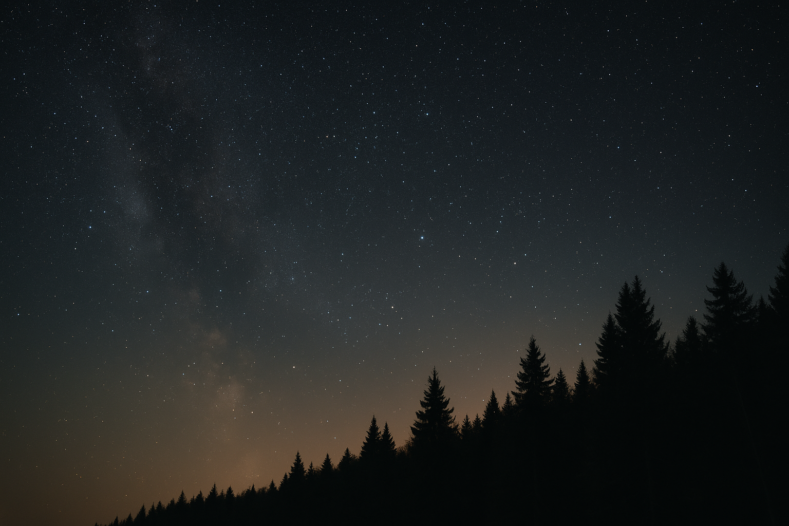
Wide night-sky shot over a dark treeline with visible stars, long exposure feel, dark and grounded tones, illustrating how to find north without a compass.
NAVIGATION · FIELD GUIDE · STEP 1 OF 7

How to Find North Without a Compass

One shadow mark or one leaning tree is a guess, not a direction. This guide covers the two primary methods that actually hold up — shadow-stick and star location — and why the popular moss myth doesn't.

Written by SRL Field Team · Updated 2026-07-12 ✓ Field Verified
navigationlow-gear
SRL-NAV-001 · print-ready · SRL Editorial Standard · 2 sources cited
5 minRead Time
BeginnerDifficulty
2Sources Cited
Field Rules
  1. 01Plant the stick, mark the shadow tip, wait 15–20 minutes, mark the new tip; the line between marks runs roughly east-west, first mark west.
  2. 02Trace a line through the two outer stars of the Big Dipper's bowl, extend it about five times their separation to reach Polaris; the ground point beneath it is true north.
  3. 03Use these only to sanity-check a shadow-stick or star reading, not as a standalone method.
Get the Free Field Sheet Continue the Learning Path →
NAVIGATION PATH

Build this skill in sequence.

1Find North2Not yet published3Not yet published4Not yet published5Not yet published6Not yet published7Not yet published
LEARNING PATH PROGRESS
Navigation Path — you're on step 1 of 7 1/7 published
WHAT YOU'LL LEARN

4 things, read in order.

INTERACTIVE DIAGRAMS

See the terrain, not just read it.

2 field diagrams from the SRL diagram system. Switch between them.

WHY THIS DIAGRAMRead two shadow-tip marks, taken minutes apart, into a reliable east-west line.
Shadow-stick method SHADOW TIP MARK 1 MARK 2 (15+ MIN LATER) line = east–west
Two shadow-tip marks, 15–20 minutes apart, give you a reliable east-west line.
WHY THIS DIAGRAMLocate true north from a fixed star instead of the rotating field of stars around it.
Star location method NORTH STAR true north on horizon
Polaris stays nearly fixed while other stars rotate around it — the point beneath it is true north.
SIGN 01 / 03

Shadow-Stick Method

Two shadow marks separated by time give you a real east-west line — one mark doesn't.

WHAT TO LOOK FOR

A straight stick roughly 30cm long, flat open ground, and direct sun.

WHY IT MATTERS

The sun's shadow moves west to east through the day, so two shadow-tip marks give you an east-west line.

WHAT TO DO

Plant the stick, mark the shadow tip, wait 15–20 minutes, mark the new tip; the line between marks runs roughly east-west, first mark west.

FIELD TIP

A perpendicular line through the midpoint of your two marks points roughly north-south — check it against a known landmark if you have one.

COMMON MISTAKE

Using a single shadow mark. One mark only gives a direction from the stick, not a reliable line.

SIGN 02 / 03

Night Sky — Locating True North by Stars (Northern Hemisphere)

Polaris barely moves while the sky rotates around it.

WHAT TO LOOK FOR

The Big Dipper (Plough) or Cassiopeia, both usable to locate Polaris, the North Star.

WHY IT MATTERS

Polaris sits almost directly above the North Pole and stays nearly fixed while other stars rotate around it.

WHAT TO DO

Trace a line through the two outer stars of the Big Dipper's bowl, extend it about five times their separation to reach Polaris; the ground point beneath it is true north.

FIELD TIP

Watch Polaris over ten to fifteen minutes — unlike other stars, it should barely appear to move.

COMMON MISTAKE

Relying on this method south of the equator, where Polaris isn't visible — a different star method is required there.

SIGN 03 / 03

Reading Landscape and Vegetation Cues (Supporting, Not Primary)

These cues sanity-check a real method — they don't replace one.

WHAT TO LOOK FOR

Prevailing wind-shaped tree growth, snow melting faster on one slope aspect, general terrain orientation if already mapped.

WHY IT MATTERS

These are secondary, regional-specific cues that support a primary method — they are not reliable enough to use alone.

WHAT TO DO

Use these only to sanity-check a shadow-stick or star reading, not as a standalone method.

FIELD TIP

Compare against your shadow-stick or star result; large disagreement means re-run the primary method rather than trusting the vegetation cue.

COMMON MISTAKE

Trusting "moss grows on the north side of trees." Moss grows wherever it's damp and shaded, which is often not north-facing at all — a persistent myth, not a reliable method.

DECISION CARD

Daytime: use the shadow-stick method. Nighttime with a clear sky: use star location. Use vegetation and terrain cues only to sanity-check, never as your primary method.

MISTAKE CARD

Treating any single natural sign — moss, one shadow mark, one leaning tree — as sufficient on its own. Cross-check with a second method whenever the terrain allows.

FIELD RULE

Two data points make a line. One data point is a guess.

HONEST LIMITATIONSThese methods give an approximate, not precision, bearing — enough to hold a general direction of travel, not for technical navigation. In the Southern Hemisphere, Polaris isn't visible; a different star method is required, and isn't covered in this guide yet.
This article's actual product
1-PAGE FIELD SHEET
How to Find North Without a Compass
PDF · LETTER/A4
Straight ~30cm stick and flat open ground for shadow-stick method
First shadow-tip mark placed, second mark placed 15–20 minutes later
East-west line drawn between marks, first mark = west
At night: Big Dipper or Cassiopeia used to locate Polaris
Vegetation/terrain cues used only to sanity-check, not as primary
Open Printable Field Sheet
print-ready·offline-first·SRL-NAV-001
Get the Free Field Sheet
Free, direct download — no account required.
SOURCES

What this guide is built on.

  • Traditional celestial and shadow-stick navigation references
  • Basic astronomy field guides

See our Editorial Standard for how sources are reviewed.

RELATED SKILLS

Keep the next reference close.

NEXT IN NAVIGATION PATH — STEP 2 OF 7

Not yet published

This step is planned but not live yet.